Spatial data, monitoring, inspections, spectral and linear imaging, video, photo ...

RGB and spectral imaging for vegetation and health detecting

Digital Orthophoto (DOF), Elevation Models (DEM), Surface Models (DSM), Mapping, GIS Integration

Wind turbines, transmission lines, infrastructures and other facilities

Point Cloud, 3D mesh, web implementation, complete GIS solutions

Video, Photo and Audio Production, Video 360, Virtual Walks, 360 Panoramas


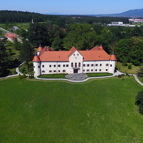
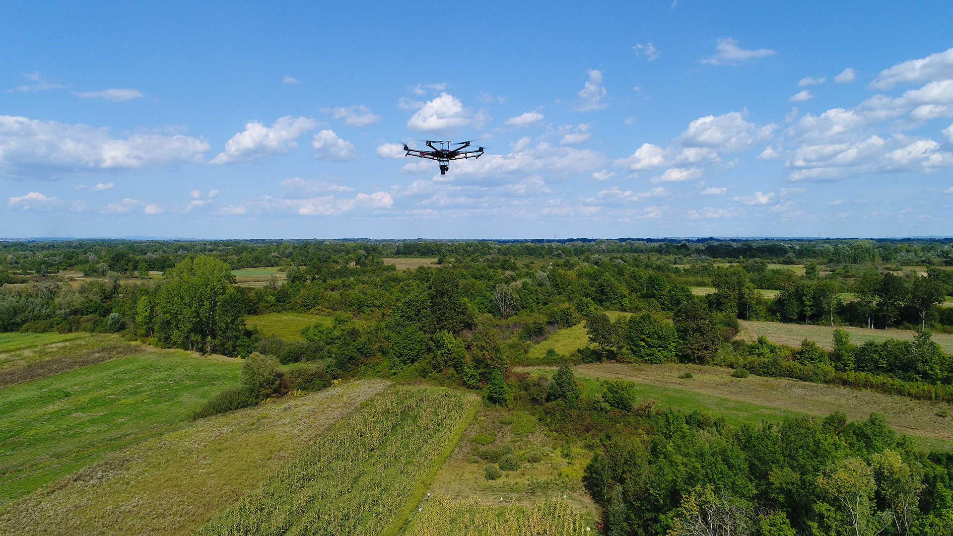
SPATIAL DATA
With our unmanned systems, we create state-of-the-art spatial data such as digital orthophoto, digital elevation models (DEM and DSM), 3D object shots and 3D calculations. Special GPS devices and high-quality sensors (cameras) care for superior precision. In addition to processing Point Cloud, 3D Mesh and mapping, we integrate data into GIS.

VIDEO, PHOTO AND AUDIO PRODUCTION
We offer aerial video and photo production, promotional videos, panoramic interactive videos, VR video (virtual reality), Time lapse, video and audio production and post-production, processing and posting to social networks (YouTube, Facebook, Vimeo, ...), etc. At the request of our users, background music can completely be written, arranged and produced in our studio.

360 TECHNOLOGY
Our specialty is also recording, production and post-production of video content in 360 technology. Recording from the ground, aerial and underwater, with and without actors, our high-quality 360 cameras and ambisonous sound recorders create virtual reality (VR) for viewing in VR glasses, Dome screenings and networks.

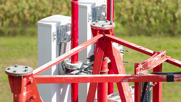
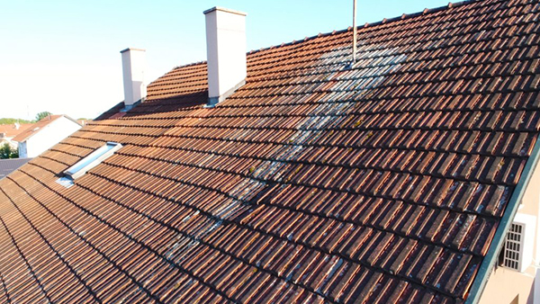
INDUSTRIAL DRONE INSPECTIONS
We use unmanned aerial vehicles to inspect hard-to-reach facilities such as transmission lines, base stations, roofs, bridges, wind farms, etc. for the purpose of detecting and monitoring structural health, rust status, the need to replace worn parts and other maintenance operations. Our unmanned platforms can carry a variety of high-resolution RGB, multispectral, thermal and coronary sensors.

MONITORING IN FORESTRY AND AGRICULTURE
Unmanned aerial vehicle monitoring allows monitoring and timely response to the occurrence of pests, diseases, weeds or other disasters that affect the health of trees and plants.

CONTROL OF LINEAR OBJECTS AND CALCULATIONS
We monitor and acquire dana of linear objects such as transmission lines, highways, railroads, etc. We can accurately calculate the volume of excavations, structures or aggregated piles (eg gravel pile). Our drones use special, extremely accurate GPS devices.

SPECTRAL RECORDING
Aerial spectral data, in cooperation with experts, provide information on health of plants and trees. For example, we identify and monitor the condition of wheat or maize and identify problem areas that can then be target treated. Our specialty is remote forestry sensing.